Olderdalen (Circuit)

Olderdalen (Circuit)
Distance:
9.3 km
Estimated time:
3 hours
Several information boards have been erected along the path explaining how the people from this valley lived in earlier times.
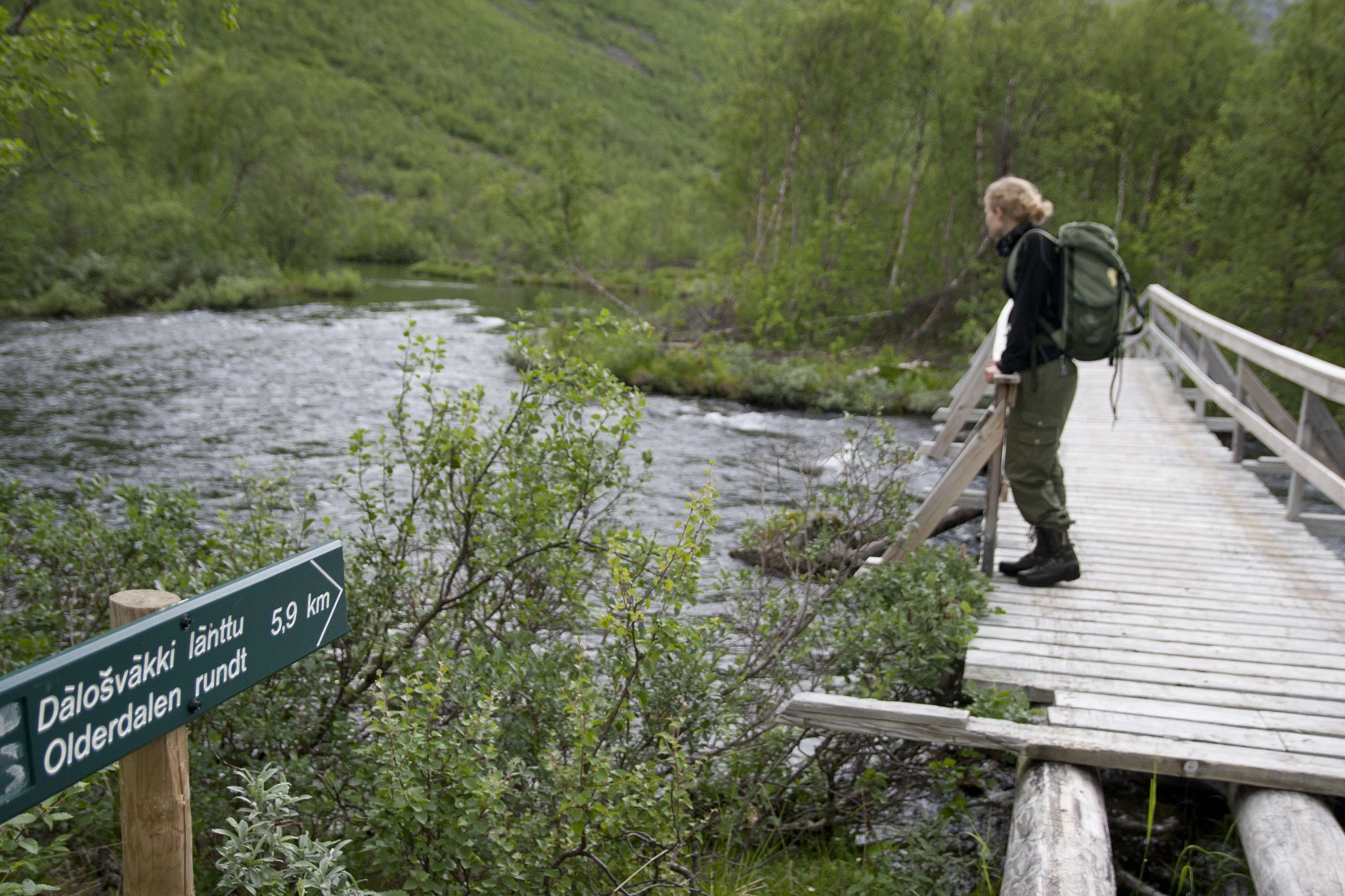
This loop path is in relatively easy terrain, following the floodlit cross-country ski trail, a tractor road and a walking path. The highest point is 150 m a.s.l. The route is marked by signs at all intersections. You cross one bridge at the highest point of the route and another on the return leg by the waterworks.
There is a rest area at Dalbakken/Vággedearbmi. At the highest point (after approx. 4.2 km), you can head eastwards at the sign pointing towards lake Olderdalsvannet/Dálvvesvátjávri. From this crossing, it’s roughly 6 km to the Olderdalshytta cabin at the western end of the lake. This cabin is open to everyone.
Starting point
Between the sports hall and cultural centre in Olderdalen
Signs at the intersections
Elevation:
150 m a.s.l.