Loading...
Nordmannvikdalen / Dazavaggi

Nordmannvikdalen / Dazavaggi
Distance:
12.6 km
Estimated time:
4 hours
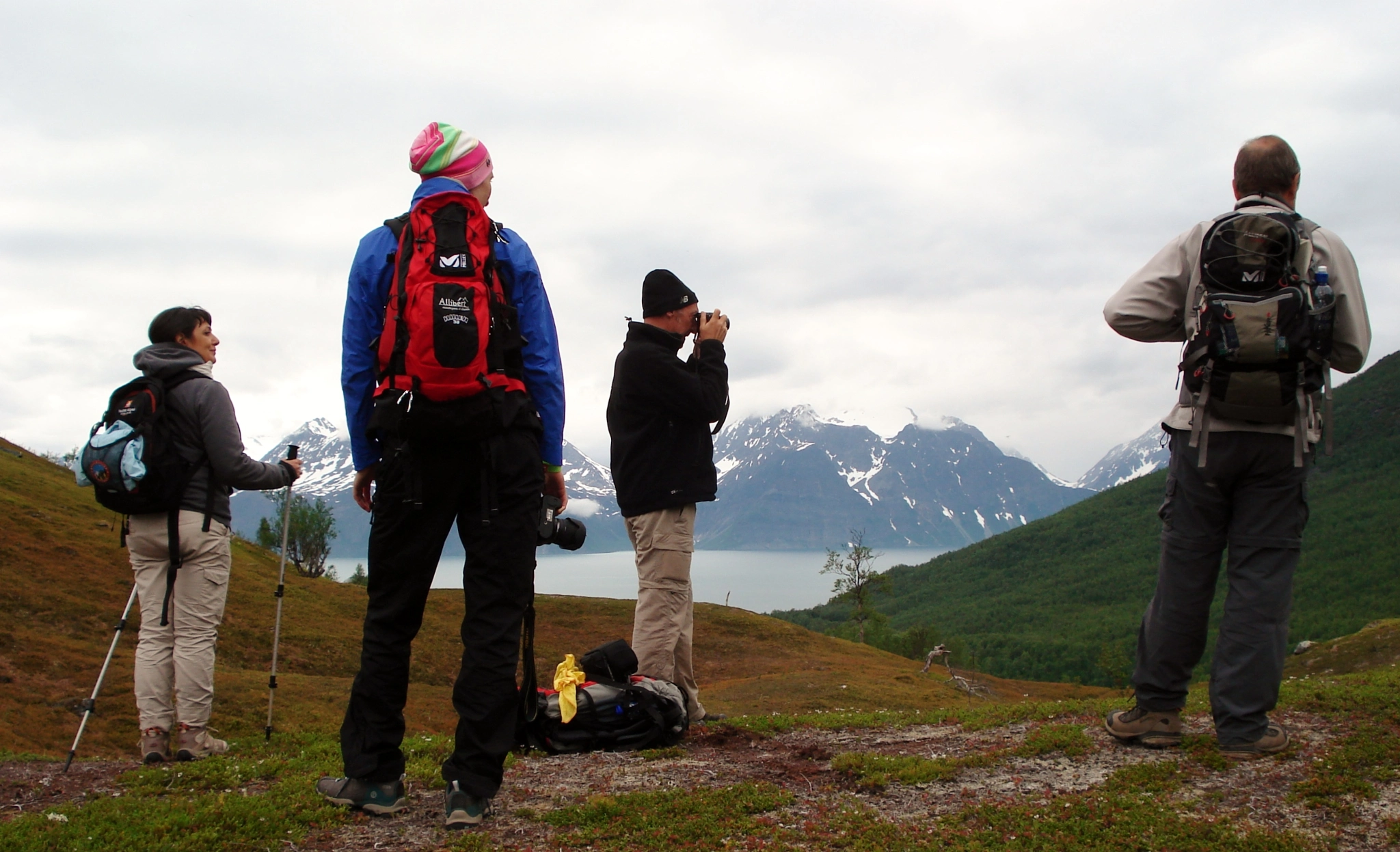
This hike takes you high into the valley, surrounded by steep mountains and great views of the Lyngen Alps. This route is through open and easy terrain, initially along a tractor road and then a hiking path. The route goes up the southern side of the river and down the northern side, but you can also walk in the opposite direction. It’s marked by signs at all intersections.
There is a bridge over the river at Gaukenes, where there is a cabin and toilet.
This route offers great views of the Lyngenfjord and the valley. You will also see special geological formations and sights such as moraines from various ice ages, rock glaciers and faults, as well as remnants of Sami settlements and sacrificial sites. If you are lucky, you may see reindeer and moose.
Kirkesteinen (the church rock), which is situated at Gállomielli after 3.7 km, was used in Sami mythology and was evidently of great importance to the Sami in the area. A bridge crosses the river here and it’s possible to walk back down the other side (7.4 km in total).
This route is easy to moderate but can be wet in places.
Starting point
Near the E6, right by the bridge in Nordmannvik if approaching from the south (Vikasvingen)
Signposted
Elevation:
320 m a.s.l. at Gaukenes
Your feedback is important
Did you enjoy this information?

Theme