Gjøvarden

Gjøvarden
Distance:
4.4 km
Estimated time:
2.5 hours
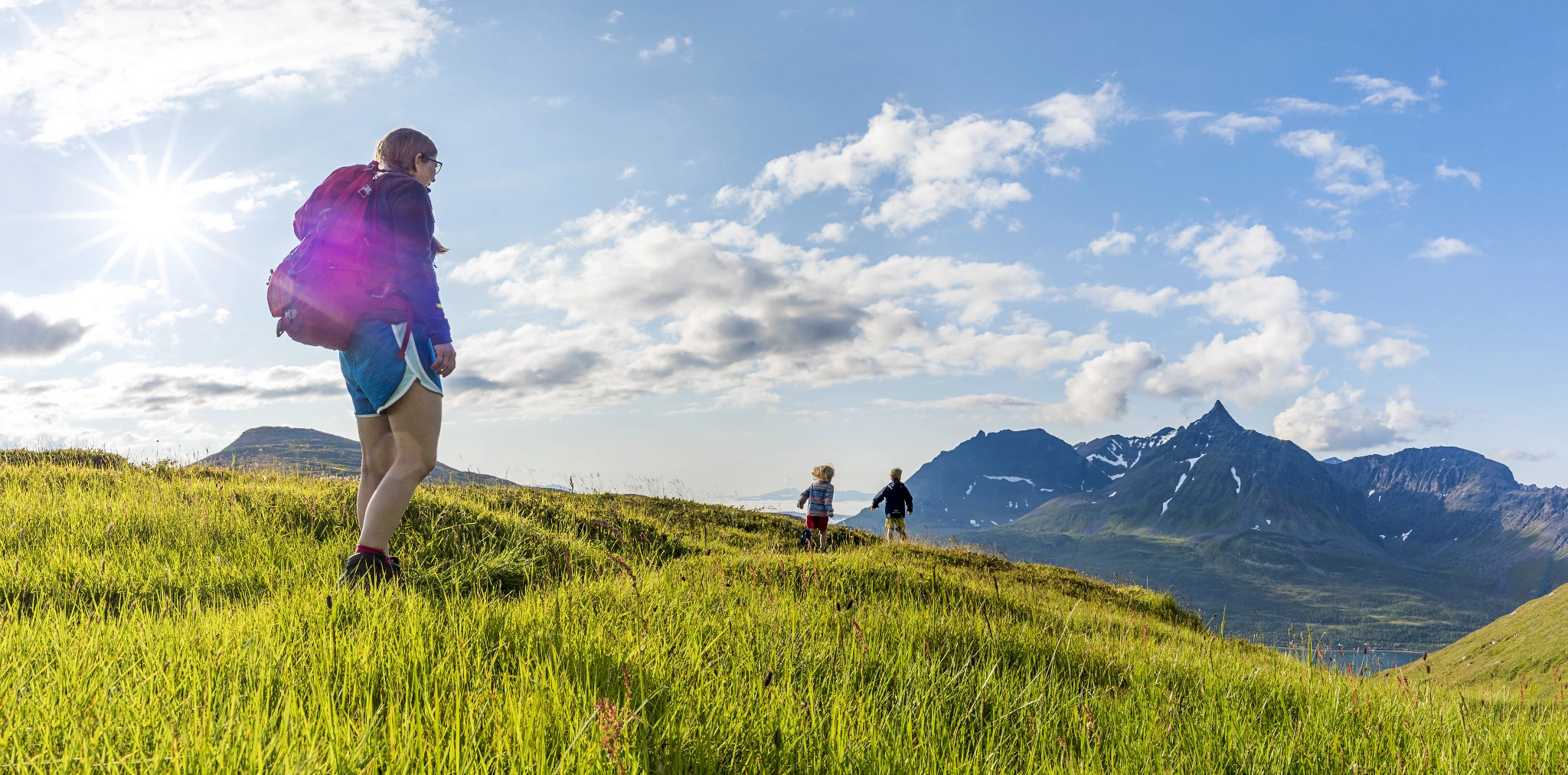
If you climb up Gjøvarden, you will be rewarded with panoramic views of the Lyngenfjord, Reisafjord, Kvænangen and Kågen. This hike starts on the opposite side of the car park and is clearly marked with “Ut i Nord” signs.
The steep path leads through dense birch forest. When the terrain flattens out, follow the sign right to Gjøvarden (if you turn left here, you will end up at lake Holmevannet). After the stream, the route continues in flatter terrain for approx. 500 m before a steeper section. The path is unclear but is much clearer on the final, steep section.
From the edge, you can look right down into an impressive, steep ravine. Turn left and continue to the cairn on the summit. If you are lucky, in the early summer you may see the flower Lapland rosebay blooming.
Starting point
At the large parking bay on the upper side of route 866 (towards Skjervøy) – on a hilltop
Clear signs at all intersections
Elevation:
531 m a.s.l.