Kågen

Kågen
Distance:
18.6 km from Storstein to Lutberget (or vice versa)
Estimated time:
5-7 hours
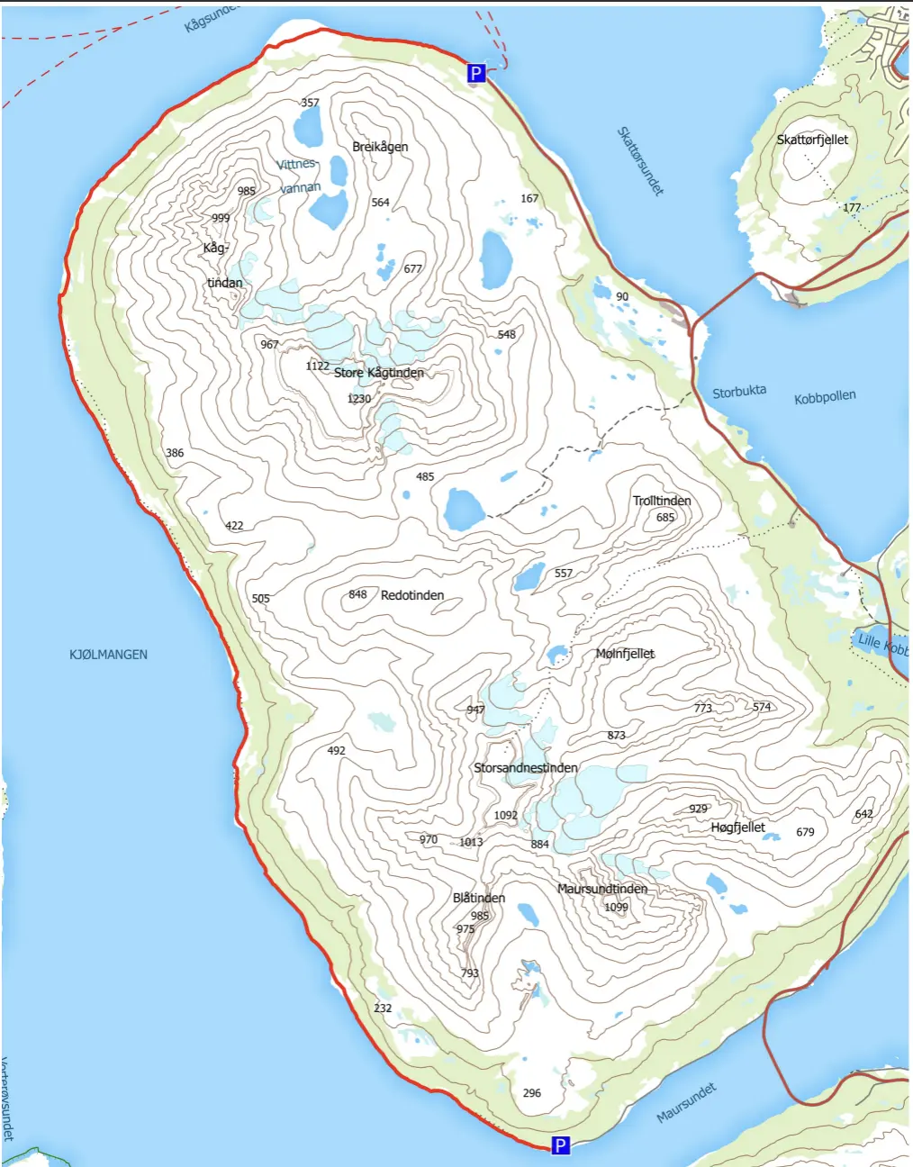
The hike from Storstein to Lutberget on the western side of the island Kågen is a nice day trip. You mostly follow the seashore, but sometimes on the hillside which can be quite steep. You can start the hike from Lutberget in Maursund on Kågen or from the ferry landing at Storstein.
If you start from Lutberget, it’s a good idea to check when it’s low and high tide. At low tide, you can easily walk along the seashore between Lille Sandnes and Novaelva, otherwise you need to follow the path marked with arrows up through the forest.
In the opposite direction from Storstein, the route through the forest is well marked. The route turns off just south of Sandnesodden. It’s easy walking but note that you must cross several rivers. This can be challenging if the water level is high. Bridges have been built across several of the larger rivers.
Take breaks where you wish along the way. You can drink fresh water from the streams/rivers. If you want to light a fire, you will find driftwood on the beach.
NB! As this route starts and finishes in different places, it’s a good idea to park your car at the end and get a ride to the starting point (or vice versa).
Starting point
At the ferry landing at Storstein or the end of the road at Lutberget in Maursund
Only partly marked. You mostly follow the seashore.
Elevation:
41 m a.s.l.