Loading...
Katariina Tour
By Visit Kotka-Hamina

Katariina Tour
Visit Kotka-Hamina
~5 km
2 hours
4 stops
The Katariina tour introduces the preserved and ruined sites of the Ruotsinsalmi sea fortress. The path is 4.6 km long and begins at the Sapokka Water Park. It is mostly easy to walk, but there are parts that involve crossing rocks and narrow paths. In addition to the sites along the path, there are other fortification sites from the same era in the city of Kotka and the nearby islands.
The route is marked, and there are information boards at the sites.
Sweden lost part of southeastern Finland to Russia during the Great Northern War (1700–1721) and the western branch of the Kymi River in the Hats' War (1741–1743). King Gustav III's attempt to reclaim these areas ended in the Battle of Ruotsinsalmi and the Treaty of Värälä in 1790, with no territorial changes. After this, Empress Catherine the Great of Russia constructed a three-tiered fortification zone for the protection of St. Petersburg, and the Ruotsinsalmi sea fortress was part of the outermost zone.
The sea fortress consisted of a military harbor and fortifications on Kotka Island and the surrounding islands. Construction began in 1790, with builders including Russian soldiers, serfs, convicts, and Finnish laborers and volunteers.
At its peak in 1808, the Ruotsinsalmi sea fortress housed nearly 10,000 soldiers, and alongside the fortress, there was a town-like settlement with about a thousand civilians, several hundred of whom were Finnish. The fortress remained vital for only a few decades before losing its strategic importance when the area of present-day Finland was annexed by Russia in 1809.
During the Crimean War in 1855, a British-French fleet destroyed the fortress by burning and exploding its structures. Today, the remains of the Ruotsinsalmi sea fortress include the Church of St. Nicholas, two powder magazines, and ruins of buildings and fortification structures.
Featured in this tour
Katariina Tour Starting Point
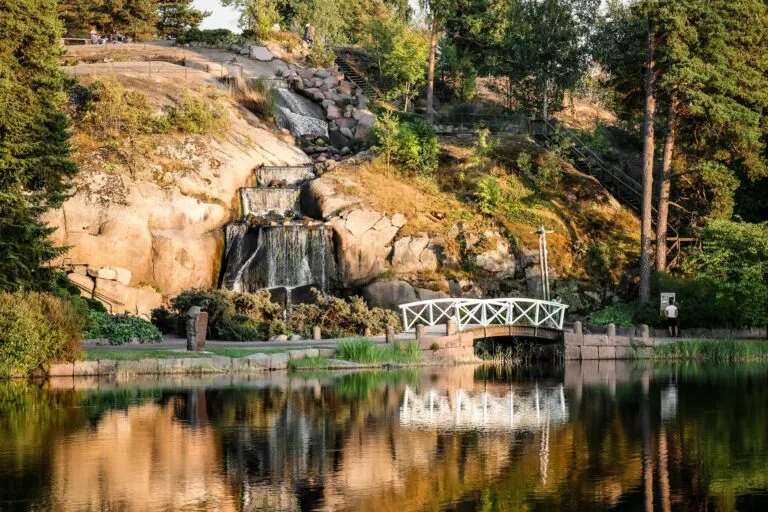
Sapokka Water Garden
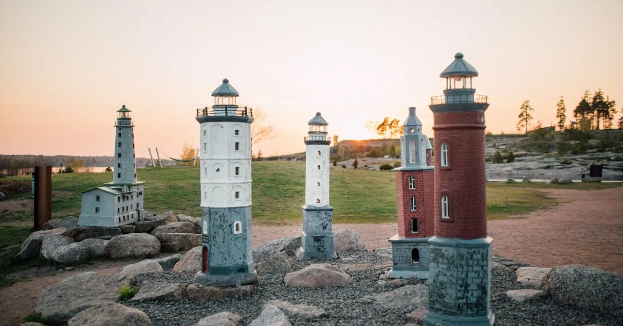
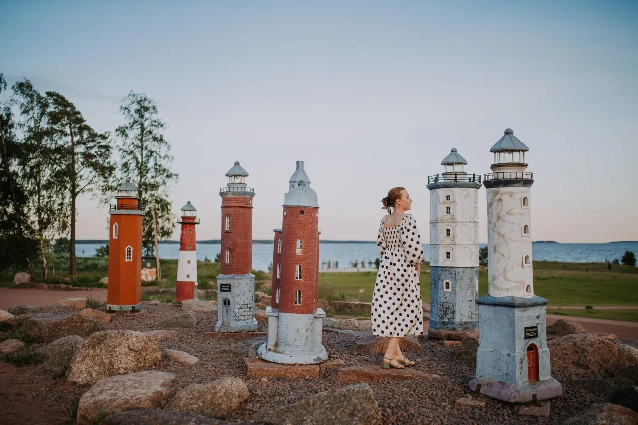
Katariina Seaside Park
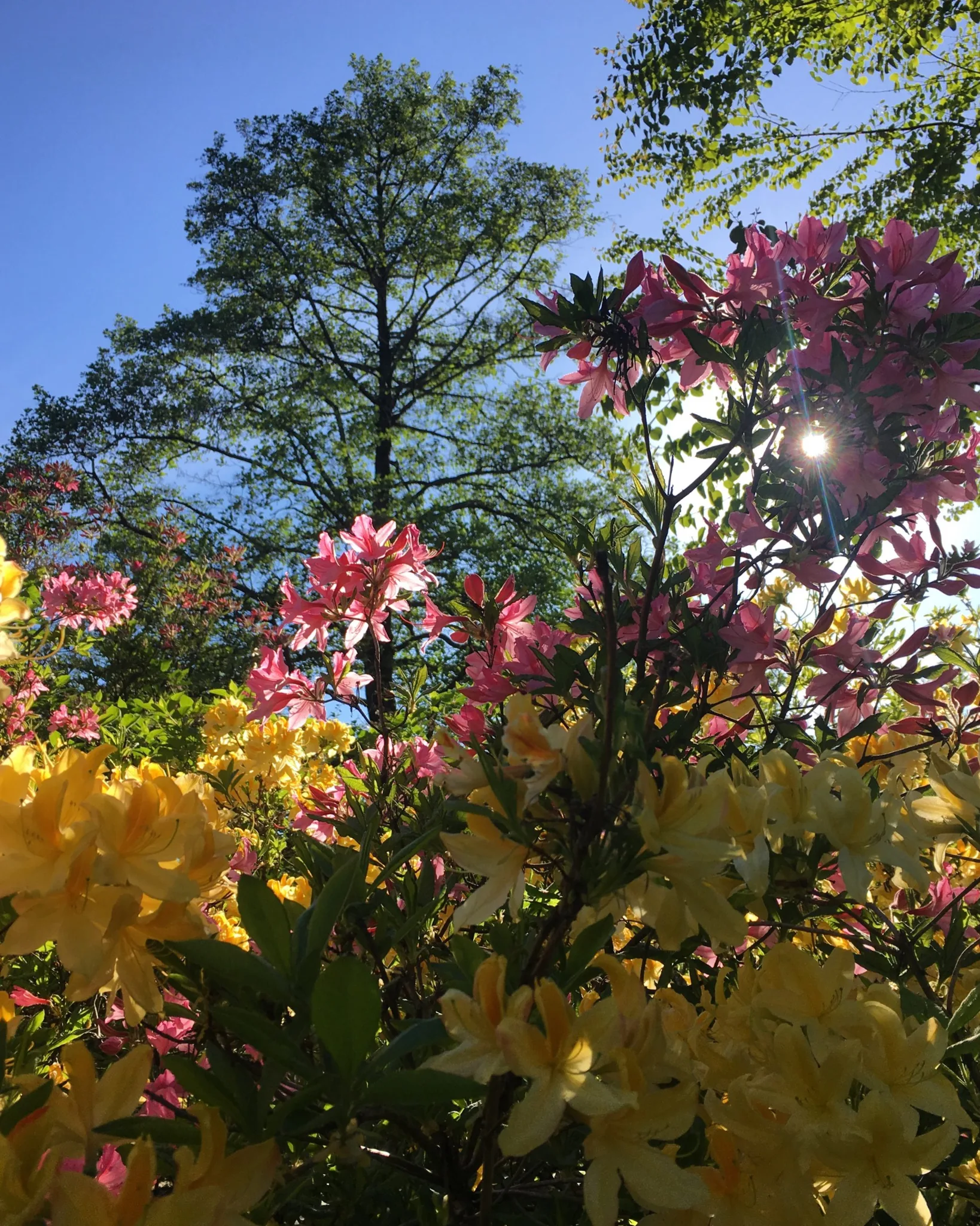
Fuksinpuisto Park

Visit Kotka-Hamina
Fall in Love with the East Coast of Finland!
Your feedback is important
How was your experience with this tour?
Theme